A long-awaited hike up Mount Negron

Standing at 1,595 MASL, Mt. Negron will test your endurance and mental fortitude if you decide to do it on a Dayhike.
Joining me on this adventure were Dr. Gideon Lasco and Jepoy, a local Aeta guide. Doc Gid and I had planned this trip since 2025, but schedules never aligned. When our calendars finally cleared, we wasted no time. Packs heavy with food, driven by a shared eagerness to finally summit this recently opened mountain.
On May 10, 2026, it took almost 21 hours to complete a grueling backtrail route from Pasbul Aeta Community in Brgy. Camias, Pampanga to the summit of Mt. Negron. As of this writing, this stands as my longest hike since I began mountaineering. The trails are not that technical, but the lahar made it challenging, and the sheer distance was overwhelming - pero ginusto ko ito, uulit at uulit pa rin ako!
Make sure to get enough sleep and bring enough food for a day hike. Don't worry sagana ang trail sa water source.
Background about Mt. Negron
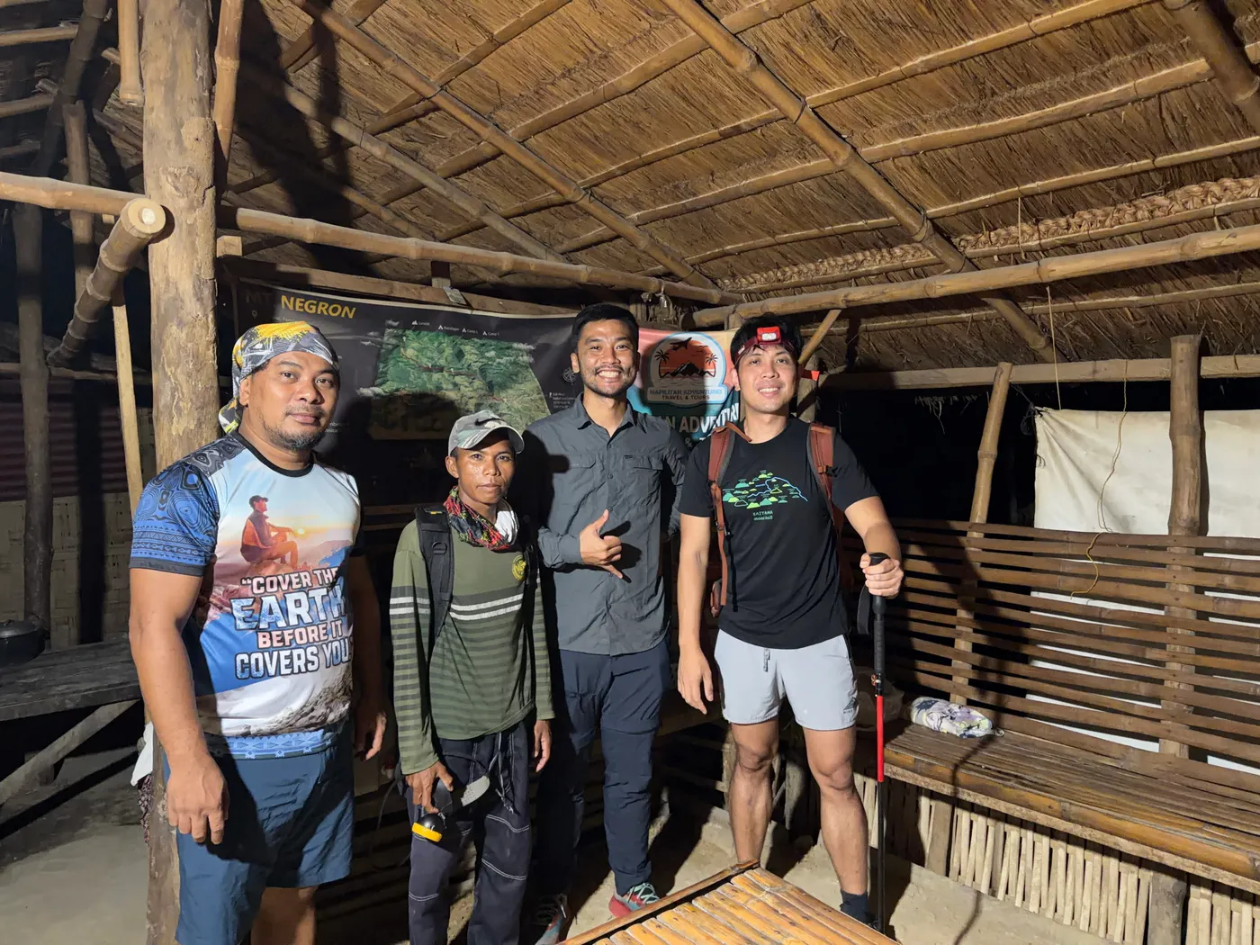
Travis, Jepoy, Me and Doc Gid
Our primary contact for the climb was Travis, whom we reached through Facebook. Siya ang nagbutas ng trail alongside the local Aetas and has become the most trusted figure for anyone attempting Mt. Negron. Beyond being a middleman, he is helping the community formalize registration procedures with the LGU to establish the mountain as an official tourist destination.
Travis shared a story about the mountain's history during the 1991 eruption of Mt. Pinatubo. He told us that the local Aetas began calling Mt. Negron "Apo Abu", as the entire peak was buried in lahar. It was eventually called Mt. Negron when an American land surveyor visited the area and saw local Aetas.
Before 1991, Aeta families lived in sitios as high as Camp 2. After the eruption forced them out, the survivors resettled in the lowlands of Brgy. Camias, which is where the trek starts today.
Browse here for more photos and videos: Mt. Negron Photo Gallery
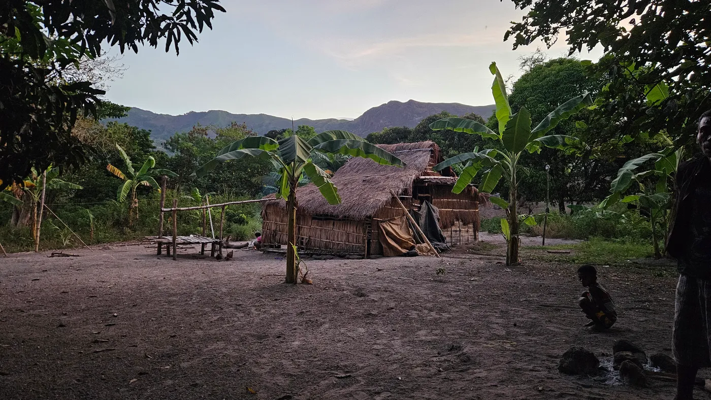
Aeta Houses at Brgy. Patal Apalit
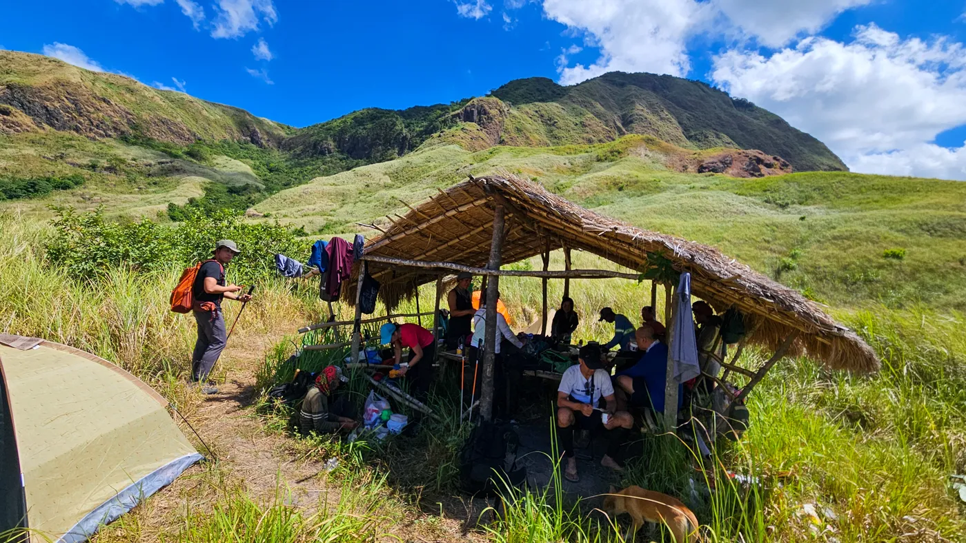
Second Campsite, 4hours until summit
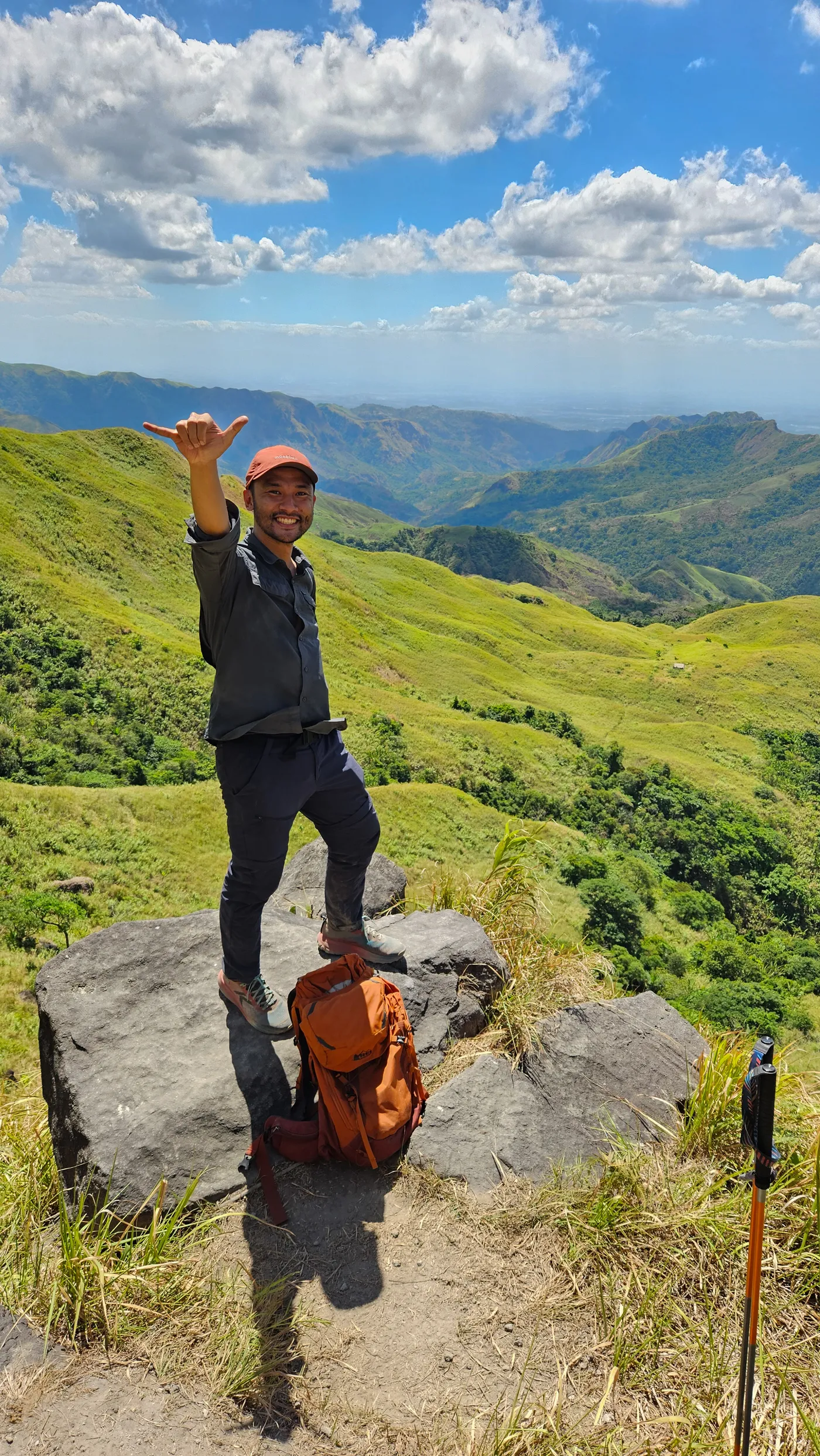
View Deck after Camp 2
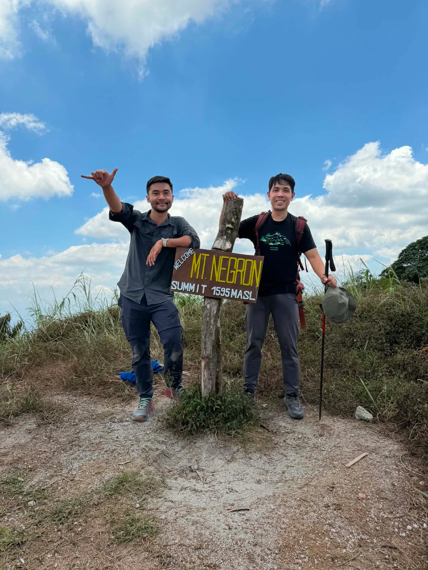
Me and Doc Gid at the Summit of Mt. Negron
Navigation Files
Total Distance: 34.93 km
Elev Gain/Loss: 2506 m
Fees
Jump Off: Brgy. Camias, Porac Pampanga
Registration Fee: 850 per person (Includes all Fees)
Day hike Guide Fee: 1,500 (1:4) Note: 12MN Cut Off Subject for Overtime Guide Fee of (250 per guide per hour)
Multi Day Guide Fee: 2D1N - 2,500 (1:5) | 3D2N - 3,500 (1:5)
Contact Details:
Contact Person: Travis (Facebook)
Mt. Negron Day Hike Itinerary - Back Trail Itinerary
If you aren't planning to do this as a day hike, you can find proposed multiday itineraries at these links, 2D1N, and 3D2N. Note that these are just suggestions.
02:00 am - ETD Jump Off
02:30 am - Start of River Crossings
06:00 am - Brgy. Patal Apalit - Water Source
07:00 am - Camp 1 (Brgy. Tapuak)
08:00 am - Water Source / Small Waterfall
08:30 am - Start of Banana Plantation
09:00 am - Water Source / Rest Area
09:30 am - Start of Grassland
10:00 am - Camp 2 (936 MASL)
10:05 am - Last Water Source
10:15 am - Rope Section / View Deck / Start of Grassland
11:00 am - Start of Mossy Forest
01:00 pm - Summit of Mt. Negron
01:30 pm - Start trekking back to jump off
03:30 pm - Start of Grassland
03:45 pm - Rope Section / View Deck
04:00 pm - Camp 2 / Water Source
04:15 pm - Start of Banana Plantation
04:30 pm - Water Source / Rest Area
07:00 pm - Camp 1 (Brgy. Tapuak)
08:00 pm - Brgy. Patal Apalit - Water Source
09:30 pm - Start of River Crossings
11:00 pm - ETA End of Trek?id=2D1N