
Pantingan Peak isn't visited as much as Tarak Ridge on Mt. Mariveles. Situated near Bagac, Bataan, the peak is known for its difficulty, scorching heat, and limatik. But the challenge of the trail didn't stop AMCI Mountaineering Club from choosing this mountain for one of our annual open climbs.
This is my 3rd year leading an Open Climb for AMCI. It gives me a great opportunity to share the values of climbing and showcase the beauty of the Philippine mountains.
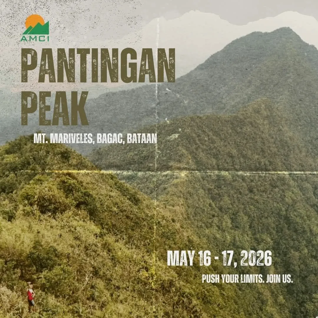
Browse here for more photos and videos: Pantingan Peak Photo Gallery
Background about Pantingan Peak
Sky Biscocho and the AMCI Exploration Team were the ones who established the trail to Pantingan Peak. Isa ito sa mga trail na ginawa ni Sky sa mountain range ng Mariveles.
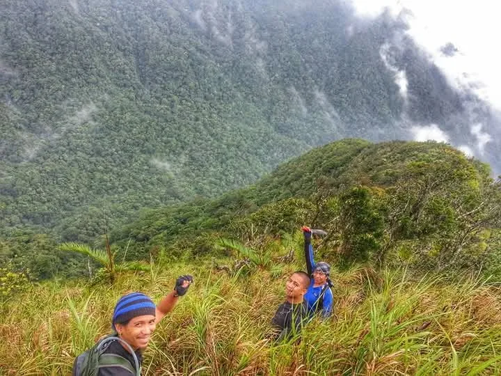
Sky Biscocho with AMCI Exploration Team
Ang kwento ni Sky, noong nag-explore sila in this area, they were able to reach Bagok Peak instead of the intended Pantingan Peak. After a few attempts, they were finally able to reach Pantingan, but most of the trail ay nasa loob ng gubat. That's when Kuya Rey came in. Pinakita niya ang mas madaling trail going to the AMCI Campsite by passing through the grassland na maraming kogon. The current known trail is the work of Kuya Rey, Sky, and the AMCI Exploration Team.
Kuya Rey is the go-to person if you want to hike Pantingan Peak. If you're doing the CUYTAPAN (Cuyapo, Tarak, Pantingan) trail, you'll be exiting at his sitio and resting at his house.
About AMCI Open Climb
The intention of this kind of activity is to provide an immersive experience, showcasing the core of the AMCI BMC (Basic Mountaineering Course) beyond just traditional hiking and summiting. As a Team Leader, I like to add my own touch by imparting core values to our participants such as valuing the community, practicing good ethics when dealing with guides and locals, and showcasing the lesser-known mountains in the Philippines.
There are already a few articles and posts out on the web about the trail itself, so I won't be doing a standard guide. Instead, what I want to share with you are the unique things we encountered.
Hindi pala magandang gawin ang hike na ito ng May! Maineeet at nakakagaleeet. Mababait lang ang club members at participants kaya wala akong narinig na reklamo sa kanila about the heat. Add to that, the water source at the campsite is just a small stream na katabi ng halos tuyong ilog. Hindi ka makakaligo to cool yourself off.
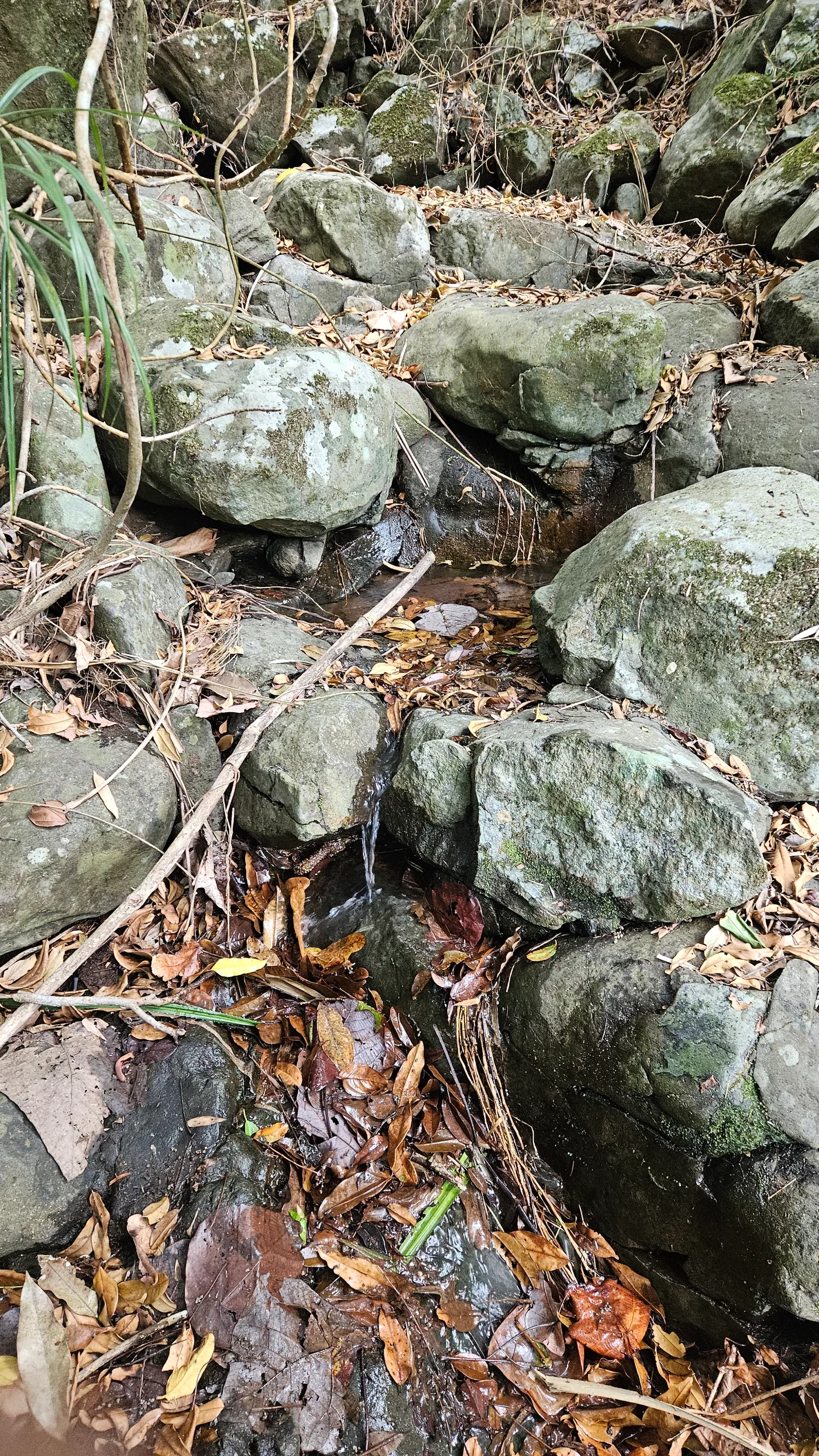
Campsite Water Source
One key advantage during our hike are,
- Walang Limatik! Pantingan is known for its infested trail of Limatik.
- Magandang views at the grassland area. You'll be able to see the west side peaks of the range
- Also at the grassland, Mt. Natib will show its majestic beauty
- High Chance of a "clearing" at the peak and to see the beauty of ancient caldera of Mt. Mariveles
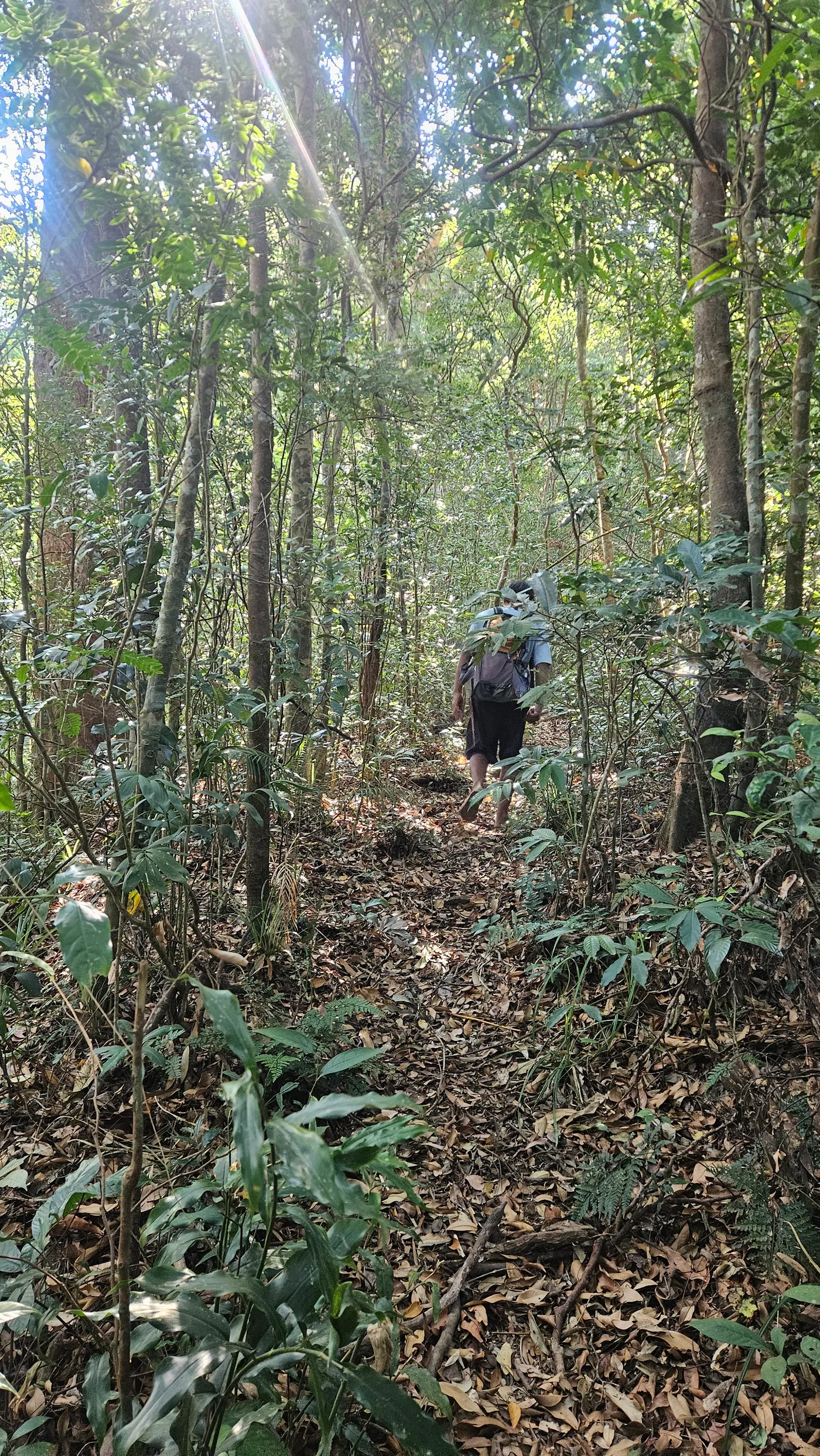
Trail going to "Butas"
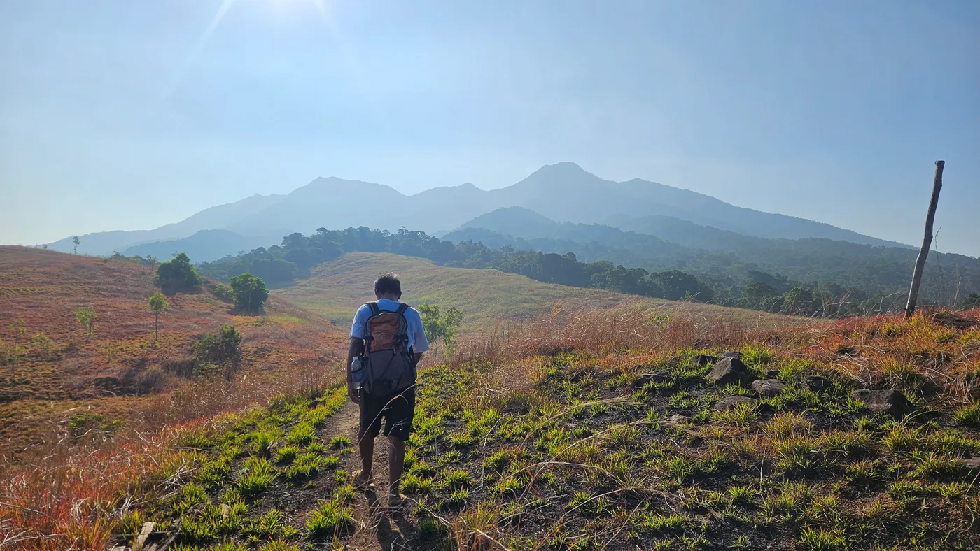
Pantingan Peak as seen from grassland area
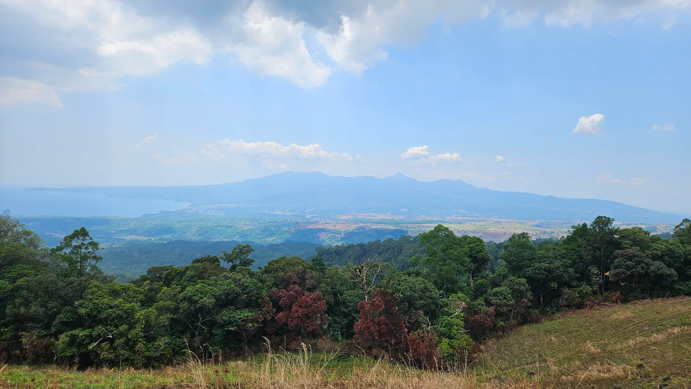
Mt. Natib as seen from grassland area
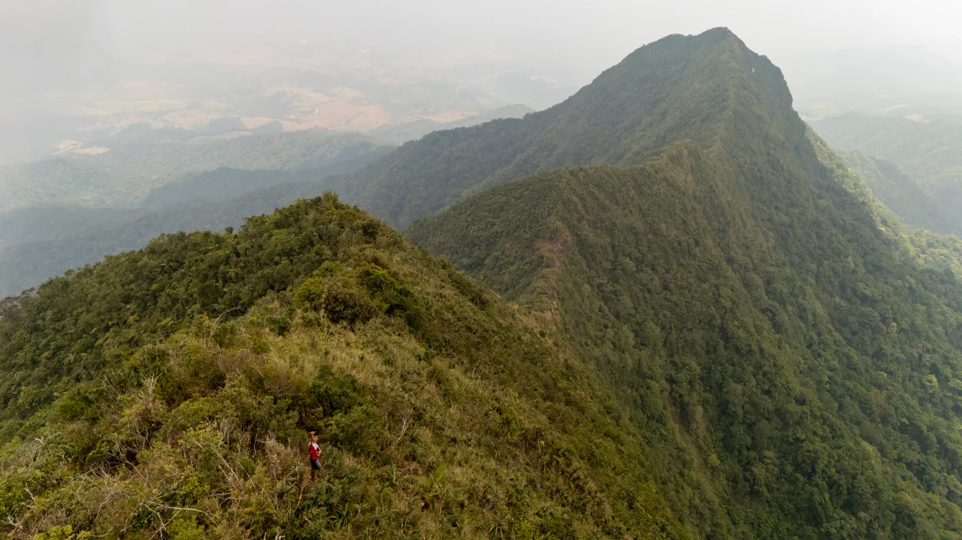
At PantinganPeak , overlooking the caldera of Mt. Mariveles
Notice: What I'll provide here is the day hike that I did with Kuya Rey
Navigation Files
Total Distance: 18 km
Elev Gain/Loss: 1,604 m
Fees
Jump Off: Sitio Duhat, Bagac, Bataan
Registration Fee: 60 per person (Includes all Fees)
Day hike Guide Fee: 2,000 (Guide Ratio 1:5)
Multi Day Guide Fee: 2D1N - 2,000 (1:5)
Contact Details:
Cellphone Number: 09569530263
Contact Person: Reynaldo Jimenez (Facebook)
Pantingan Peak Day Hike Itinerary - Back Trail Itinerary
Kayo na bahala to compute the timing differences 😁
You can create your own Itinerary by adjusting the times. Though consider my comments sa ITI.
06:19 am - ETD Jump Off
06:46 am - River Crossing / Start of ascent going to grassland
07:16 am - Start of Grassland
08:14 am - Danny's Gate
09:04 am - E-Camp
09:58 am - "Butas "Rest Area and start steep accent to the peak
11:17 am - Mossy forest (Kuya Rey and I started chatting here for almost an 40 min)
12:19 pm - Pantingan peak (We took nap here)
12:40 pm - start of descent
01:55 pm - Danny's gate (We didn't rest until we reach this point and visited the campsite)
02:04 pm - Campsite and water source
02:15 pm - ETD to end of trek (Umikot muna kami sa katabing grassland ng campsite)
02:30 pm - Danny's gate
03:35 pm - River Crossing
4:02 pm - End of Trek